West Of The Trail Is Twelve Neighborhoods Wearing One Name
October 1, 2026
October 1, 2026
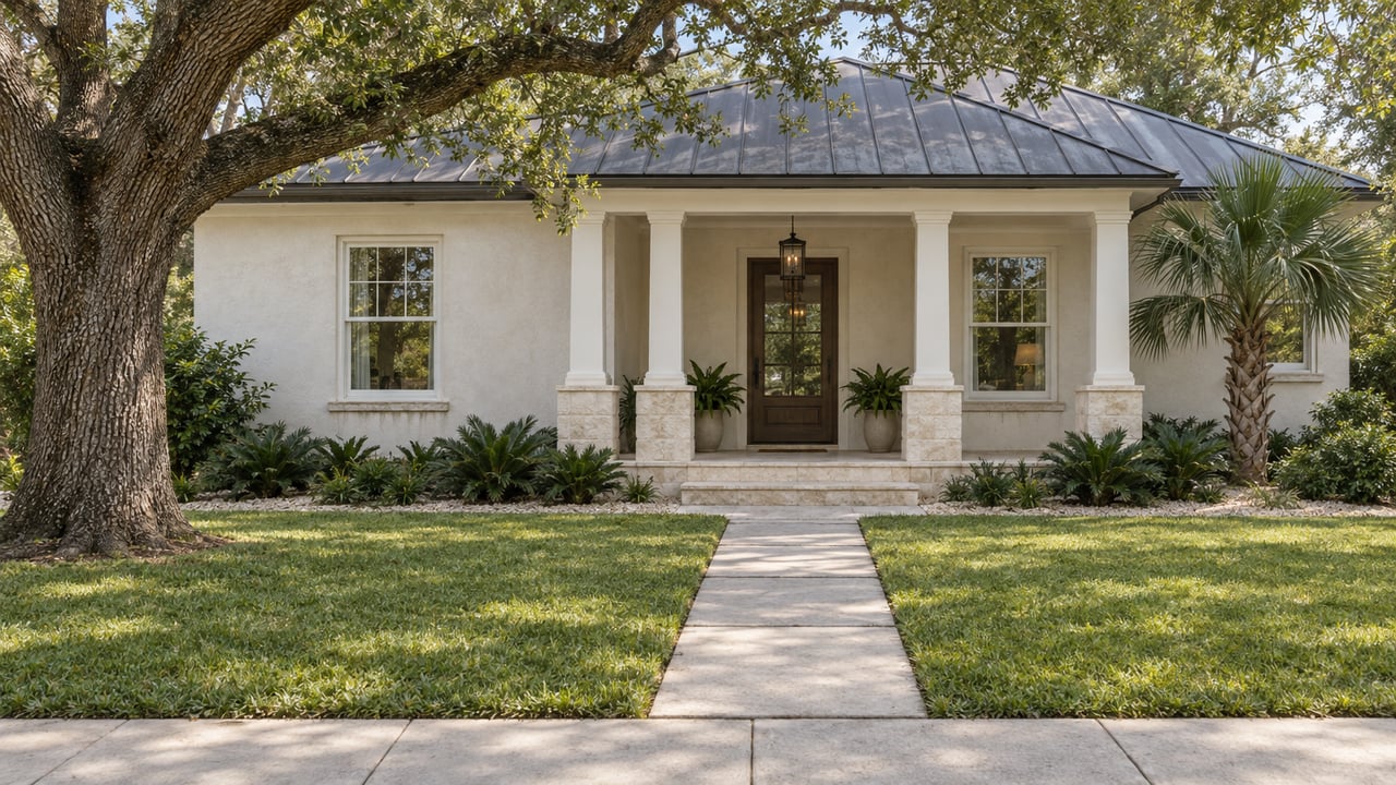
Twelve separately platted subdivisions sit inside the loosely drawn boundary that Sarasota real estate listings call West of the Trail: Avondale, Bay Point Park, Cherokee Park, Granada, Harbor Acres, Hudson Bayou, Kentwood Estates, McClellan Park, Oyster Bay, San Remo, Shoreland Woods, and South Poinsettia Park. Each one has its own name on the original plat map. None of them has a sign at its border. On paper, in marketing copy, in casual conversation, they all collapse into a single phrase: West of the Trail.
That collapse isn't wrong, exactly. It's just doing a lot of quiet work. Twelve subdivisions platted at different times, under different names, don't automatically add up to one neighborhood just because they sit on the same side of US 41. Something has to actually hold them together. In this case, it's not a shared street grid or a homeowners association that spans all twelve. It's two pieces of shared ground: a city park and a strip of storefronts along Osprey Avenue.
Arlington Park and Aquatic Complex sits at 2650 Waldemere Street, less than two miles from downtown Sarasota, and it has been there since 1980. The facility list reads like a small city's worth of recreation packed onto one lot: a 50-meter lap pool, a 25-yard instructional pool, indoor and outdoor basketball courts, tennis courts, a playground, an outdoor fitness gym, and a half-mile walking trail. There's also a fenced dog park with separate sections for large and small breeds, plus a wash station for the walk home.
What's easy to miss, if you've only ever thought of Arlington as the place with the pool and the dog run, is that the same half-mile loop carries an official state designation as a stop on the Great Florida Birding and Wildlife Trail. That's an unusual pairing. Most stops on that trail are preserves or scrub habitat, not a park with pickleball courts and a swim team schedule. At Arlington, the lap swimmers, the pickleball players, the dog owners, and the birders are all working the same half-mile of pavement at the same time, for reasons that have nothing to do with each other.
That overlap matters for the twelve-subdivisions question, because Arlington Park doesn't belong to Cherokee Park or Harbor Acres or Oyster Bay specifically. It belongs to whoever shows up. A resident of one platted subdivision and a resident of another, with no shared street between their two front doors, end up on the same walking loop, in the same pool lane, at the same dog park gate. The park is the connective tissue the plat maps never provided.
If Arlington Park is the physical hub, Southside Village is the commercial one. It sits along Osprey Avenue and Hillview Street, tucked behind Sarasota Memorial Hospital, and describes itself as "Sarasota's oldest shopping district." The claim holds up in practice: this is a compact cluster of storefronts, not a shopping center built to a modern format, and it reads that way when you walk it.
The anchor is Morton's Gourmet Market at 1924 South Osprey Avenue, which has been running for more than 50 years. It functions less like a specialty shop and more like the neighborhood's shared pantry: a bakery and coffee counter, a full wine and cheese selection, a deli, and a catering department run by a named catering director, Patty Doty, handling everything from box lunches to full events. Around it sit a handful of restaurants that have become fixtures in their own right, including Pac Rim, Gecko's, Knick's Tavern, and Libby's, along with retail like Fifi's, a designer consignment shop.
None of this is exclusive to any one of the twelve subdivisions. Morton's doesn't have a Cherokee Park entrance and a separate San Remo entrance. It has one door on Osprey Avenue, and everyone from every plat map in the area uses it.
Put the park and the market side by side and the pattern gets clearer. West of the Trail isn't defined by a fence line or a subdivision covenant. It's defined by a walking radius around two pieces of shared infrastructure that predate most of the modern real estate marketing built on top of them. Arlington Park has been open since 1980. Morton's has been operating for more than half a century. Both were there before "West of the Trail" became a phrase real estate listings needed.
That's worth sitting with for a second, because it flips the usual logic. Most neighborhood identities get built from the ground up: a developer names a subdivision, builds houses, and the name sticks. Here, twelve separate developers named twelve separate subdivisions over the decades, and the identity that actually stuck came from two civic and commercial spaces that nobody built to create a neighborhood brand. They were just a park and a grocery store. The name came later, applied on top, to describe what had already assembled itself around those two points.
None of this is theoretical if you're the one living inside it. The 50-meter lap pool at Arlington runs on a public swim schedule, so early laps and a mid-morning dog park stop are both on the table before the Florida heat sets in. From there, the walk or short drive to Southside Village puts you at Morton's for coffee and something from the bakery case, with the wine and cheese counter available if the day calls for something more than a pastry. The half-mile trail loop back at the park stays open for a second pass in the evening, when the birding traffic on the Great Florida Birding and Wildlife Trail segment tends to be lighter than the morning hours.
Dinner options sit within the same few blocks. Pac Rim, Gecko's, Knick's Tavern, and Libby's all operate inside Southside Village, which means the entire day, pool to park to pantry to dinner, can happen without leaving the loop these twelve subdivisions share. That's not a coincidence of convenience. It's the actual mechanism by which twelve differently named, differently platted pieces of land function as one recognizable place.
None of this erases the twelve names. Anyone doing real work in this part of Sarasota, whether that's tracking a renovation permit, comparing lot sizes, or just understanding why one block feels different from the next three streets over, still needs to know whether a given address falls in Harbor Acres or McClellan Park or Kentwood Estates. Those distinctions are real and they show up in deed records, in plat maps, and in the character of individual blocks.
But the day-to-day identity of the area, the thing that makes someone in Oyster Bay and someone in Granada both describe themselves as being from the same general part of town, isn't coming from the plat map. It's coming from two blocks of shared ground on Waldemere Street and Osprey Avenue that have been doing that unifying work for longer than most of the current housing stock has existed.
If you're trying to understand how these twelve pockets actually differ, street by street, from lot size to architectural age to proximity to the park and the village, that's the kind of detail worth a real conversation rather than a scroll through listing photos. A Classic Approach works this exact stretch of Sarasota block by block, and a Free Market Consultation is a good place to start if you want the plat-map version of this story, not just the postcard one.
Stay up to date on the latest real estate trends.
It's that appreciation for classically high standards that make me an ideal real estate professional to help you with your home sale or purchase in Sarasota and surrounding areas. I can help you with all your real estate needs, you get A Classic Approach with winning results. Call me today!